On this hike (not a loop) we’ll explore a section of the Coastal Trail with views of Stinson Beach and Bolinas Lagoon. When Ridgecrest Boulevard opened as a toll road in the 1920s it was proclaimed California’s “Most Scenic Drive.” It’s even better hiking!
 Directions to trailhead: THERE ARE TWO WAYS TO REACH THE TRAILHEAD:
- Take the Fairfax Bolinas Road from Fairfax to Ridgecrest Boulevard (about 50 minutes driving time from the College of Marin; car poolers can meet at St. Rita’s around 9:00-9:15 am); OR
- Take the Stinson Beach/Highway 1 exit off Highway 101.
Go west through Tam Valley and up onto the ridge. Turn right onto Panoramic Highway and follow signs to Mt. Tamalpais.Park on left at junction with the Fairfax-Bolinas Road. No restrooms at trailhead.
Turn left at Rock Springs onto Ridgecrest Boulevard. (Driving time from College of Marin about 1 hour)
Weather forecast: As of Thursday, May 6, the National Weather Service forecast for the time of the hike was mostly sunny,with a high near 60. (Click here for an updated forecast).
More on this hike: This hike isn’t mentioned in any of Dick Jordan’s trail guides, but we’ll be hiking south on the Coastal Trail which parallels Ridgecrest Boulevard until we reach the junction with the McKennan Gulch Trail (which heads downhill to Bolinas Lagoon) and then we will retrace our steps back north.
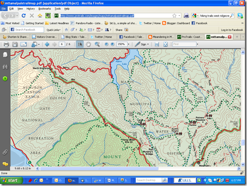
(Click here and go to page 6 of the Mt. Tam State Park brochure for the park map; click on the percentage magnification box at the top of the page and increase to about 125%-150% to get a good view of the trail which runs just west of the road).


 The last (hopefully) of this Winter’s storms was blowing through the Bay Area as we drove to the trailhead at Muir Beach for this week’s hike around and above Green Gulch Farm. But despite the foreboding weather forecast most of us gathered for our weekly pre-hike confab in the mud of the parking lot.
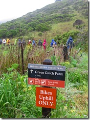
 the drizzly rain and Vetch and Thimbleberry growing along the Middle Green Gulch Trail.