Directions to trailhead: Take Sir Francis Drake Boulevard. west to Olema. Turn right on Route 1, then make an immediate left onto Bear Valley Road. Continue past Park Headquarters (stop here if you need a restroom --- there is none at the trailhead) and go left on Limantour Road.
Turn left at the sign for the youth hostel. Follow that road until you see a right turn across a bridge to the Laguna Trailhead by the Clem Miller Education Center. Park in the parking lot.
Click here for a MapQuest map that shows the trailhead. Click on #1 to get driving directions and time from your location.
55 minutes from College of Marin. Carpoolers can meet at St. Rita’s Church in Fairfax at 9:05 a.m.
No restrooms at trailhead. Outhouse en route before lunch.
Weather forecast: As of Friday, August 5th, the National Weather Service forecast for the hike
was patchy fog before 11am. Otherwise, partly sunny, with a high near 67. (Click here for an updated forecast).
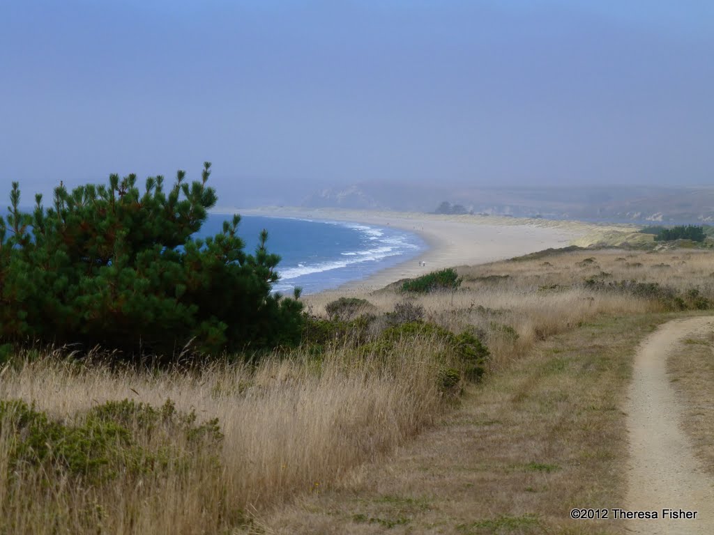
From the Laguna Trailhead we'll go southwest on the Laguna Trail to its junction with the Fire Lane Trail, follow that down to the ocean, take a short “side trip” to Coast Camp to use the “facilities”, then hike northward paralleling the sea on the Coast Trail before turning back inland to the Laguna Trailhead. Total distance covered should be approximately 5.2 miles.
The “Laguna-Coast Trail Loop” hike in Exploring Point Reyes National Seashore and Golden Gate National Recreation Area by Tracy Salcedo-Chourre describes the route we’ll take. The trails we’ll follow are shown on the the North District Hiking Map on the Point Reyes National Seashore Website.
You will also find them on the map for hike “G4 Sky – Woodward Valley – Coast Trails” in the Martins’ book, Hiking Marin, although we are not doing that specific hike.
No comments:
Post a Comment